MetaSolutions is strengthening its commitment to GIS and geospatial data by joining GISS (Geographic Information Cooperation). The company sees great opportunities to contribute its expertise in metadata and open standards while collaborating with other key players in the industry.
Geospatial information is a key enabler for smart and sustainable communities, and cooperation between stakeholders is essential to ensure the effective use of GIS data. GISS, an independent association based in Stockholm County, Sweden, serves as a meeting point for everyone interested in geographic information and geospatial IT, fostering knowledge exchange and collaboration that drive the industry forward.
Do you want to read this text in Swedish? Click here.
By becoming a member of GISS, MetaSolutions strengthens its engagement in GIS and geospatial data management. The company views open and shared geospatial data as a cornerstone of future information management and hopes to contribute its expertise in metadata, standardization, and open-source solutions. At the same time, MetaSolutions looks forward to learning from other stakeholders and working together to create a more accessible and interoperable GIS market.
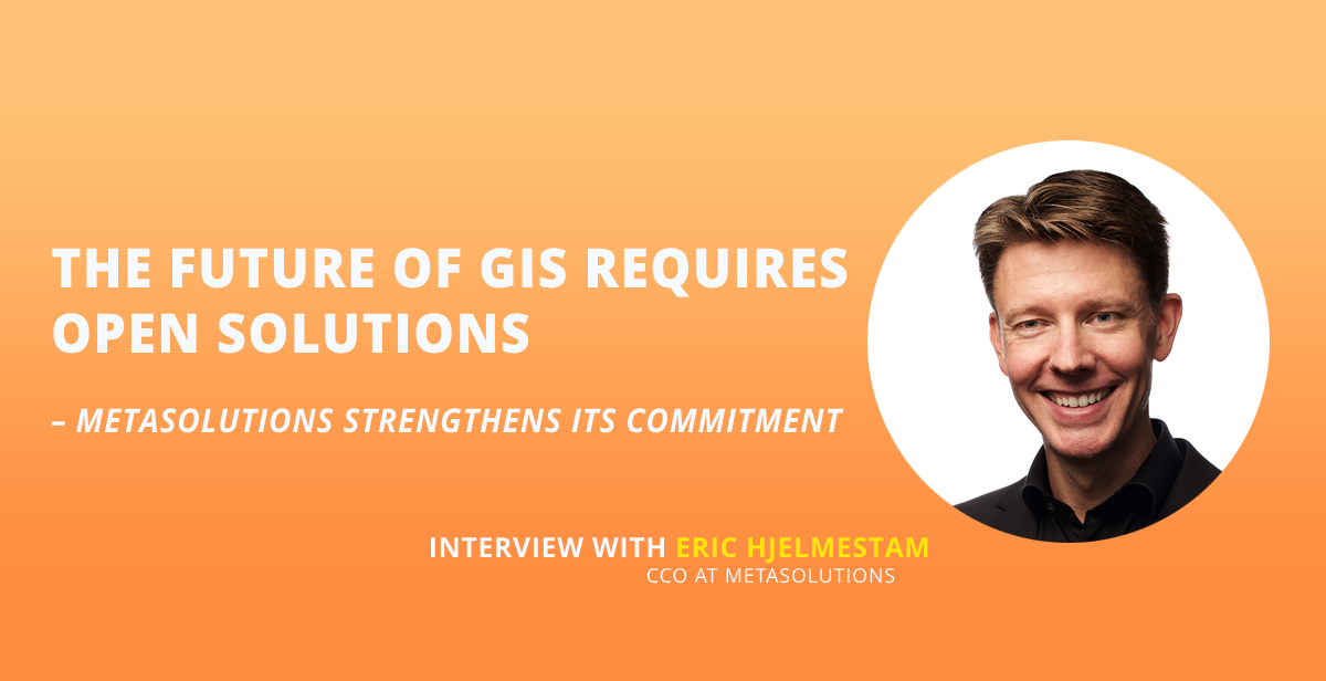
– Metadata is crucial for the future of GIS solutions and for making information management simpler and more efficient. GISS provides an important platform for exchanging knowledge and fostering collaboration within the geospatial field, says Eric Hjelmestam, CCO at MetaSolutions.
Standards and Openness Drive Development
MetaSolutions has extensive experience working with national and international data-sharing standards. By transforming its specialized expertise into practical solutions within EntryScape, the company makes it easier for organizations to manage and publish data in a way that promotes openness and interoperability. This is particularly important in GIS, where the volume of data is vast and requires clear structures to enable efficient sharing and reuse.
– Metadata is critical for handling the large volume of geospatial data efficiently. A municipality may have up to 2,000 datasets, about half of which are GIS-related. A well-structured metadata framework simplifies maintenance, sharing, and reuse of these datasets, says Eric Hjelmestam.
– We see that many of today’s GIS solutions lock municipalities and public authorities into proprietary ecosystems. MetaSolutions is working actively to provide an alternative – promoting an open and modular environment where organizations can choose solutions that fit their needs without being tied to a single vendor, he continues.
Open-Source and Freedom of Choice
Open-source solutions offer freedom and flexibility for municipalities and public authorities to choose the solutions that best suit their needs.
– Open source is about freedom – the freedom to choose vendors and foster competition, creating a more dynamic and sustainable GIS market. However, open source alone is not enough; integrations must also be transparently documented to avoid vendor lock-in, says Eric Hjelmestam.
Read also: Societal Analysis for Everyone – AI and Open Data as Key Enablers
By leveraging open standards, metadata, and open-source GIS solutions, organizations can enhance decision-making and accelerate digitalization, particularly in the public sector. An open approach to geospatial data can also pave the way for making other types of data more accessible and usable.
– GIS and geospatial data often serve as a blueprint for how other datasets can be managed more openly and collaboratively. By succeeding with open and shared geospatial data, we can inspire a broader digital transformation, concludes Eric Hjelmestam.