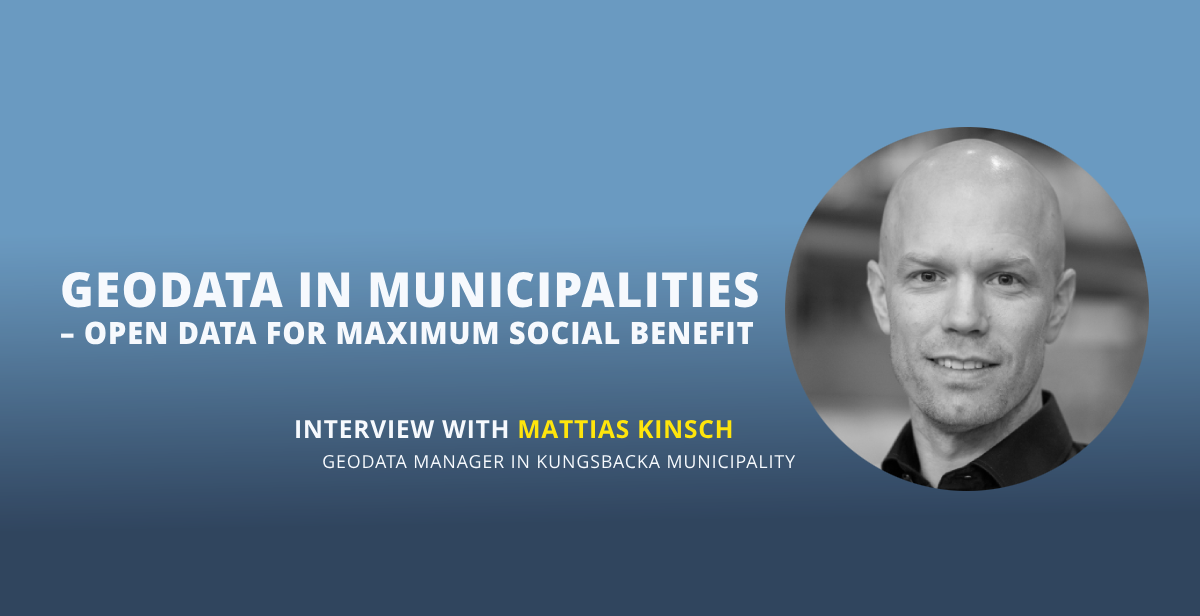
Mattias Kinsch, geodata manager in the municipality of Kungsbacka, is committed to working with open data. Managing datasets as open data makes it easier to share data so that it can be used where it provides the greatest benefit to society. As geospatial data plays a key role in municipal operations, it is a natural candidate to be open.
“80% of municipal decisions are related to location”. This is how Mattias Kinsch in Kungsbacka explains why geodata is important for municipalities. He goes on to say that geodata is not just about map coordinates, but about any kind of information that can be linked to locations.
A practical example involving schools and care for the elderly illustrates the point. As the age structure of communities changes, it would be beneficial for both schools and elderly care facilities to share buildings. If there are fewer children and more elderly people, perhaps it would be possible to convert a school into a retirement home? Sharing data between different administrations facilitates such collaboration. And the use of open data makes data sharing easier.
– We need to get better at sharing data. In many cases, the people who benefit most from data are not the ones who own it, says Mattias Kinsch.
Locked data is a barrier
Mattias Kinsch is well acquainted with open and shared data in his role as geodata manager in the municipality of Kungsbacka. He cites several strong reasons why open data is preferable to proprietary data.
– Many people have a positive attitude towards sharing data. However, many of the systems in use are barriers to data sharing, as data is locked in the systems, Mattias Kinsch explains.
Read also: With the right tools open data increases the value of geodata
Kungsbacka Municipality uses the metadata catalog in MetaSolutions’ EntryScape platform to manage open data. The municipality also has its own solution for publishing data and is one of the municipalities that develops and uses the Hajk mapping application. Or web GIS application, as it is also called. GIS stands for Geographical Information System.
Geodata becomes more open
Kungsbacka Municipality is also involved in Lantmäteriet’s work with geodata.
– We create information such as detailed plans and bank protection, says Mattias Kinsch.
In the long term, the Lantmäteriet is expected to become a major force for open data. The agency’s website states: “By February 2025 at the latest, some of Lantmäteriet’s previously paid-for information will be offered as open data”.
– Work on the geodata portal is going well. I think it will eventually have a ketchup effect, says Mattias Kinsch.
Standardisation is key
Mattias Kinsch emphasizes that the most important thing about technology solutions is that they are standardized. This is where open data comes in, as it automatically provides standardized solutions.
Read more: Four steps to get started with open data
– Technology solutions alone will not deliver the rationalization needed in the Swedish public administration. We need to build standardized solutions, and open data helps us to do that, says Mattias Kinsch.
– At MetaSolutions we understand the challenges of managing large amounts of geodata, but we also understand the opportunities. Consistent and open standards are a crucial key to simplifying both management and sharing, says Andreas Fogelberg, Senior Developer at MetaSolutions.
– Users should not be locked into commercial formats and it should be easy to follow applicable standards from data creation to publication.

