At the QGIS User Conference in Norrköping, MetaSolutions demonstrated how open-source technology and standardized metadata can unlock better structure, sharing, and discoverability in geospatial data flows – especially in organizations where data volumes are growing rapidly and the need for coordination is becoming increasingly critical.
The conference brought together GIS specialists, developers, and system managers from across Sweden. Over two intensive days, participants explored trends, tools, and future challenges – with openness and interoperability as recurring themes.
Do you want to read this text in Swedish? Click here.
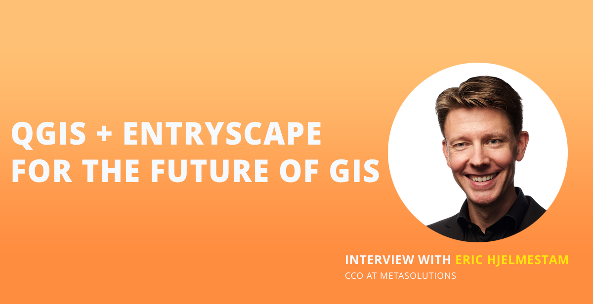
Among the presenters was MetaSolutions, represented by CCO Eric Hjelmestam and senior developer Andreas Fogelberg, who led a workshop on how QGIS and EntryScape can work together to enable more seamless and sustainable geodata management.
“We wanted to show how metadata can serve as a strategic key for organizations managing large volumes of geospatial data,” said Eric Hjelmestam.
QGIS and EntryScape – An Open Ecosystem for Geodata
QGIS is one of the world’s most widely used open-source GIS platforms, while EntryScape is an established solution for metadata management based on standards such as INSPIRE, DCAT-AP-SE, and GeoDCAT-AP. In the workshop, MetaSolutions demonstrated how the two systems can be combined to support a cohesive information management process – from data creation to publishing, searchability, and reuse.
“Many municipalities today manage over a thousand datasets, about half of which are GIS-related. Without unified metadata, it’s difficult to know what exists, who owns the data, and whether the information is up to date,” said Eric Hjelmestam.
One recurring theme during the conference was the importance of working with open standards. Describing data using standardized metadata profiles enables consistent publishing, exchange, and reuse across systems and organizations.
“It’s not just about technology – it’s about building a digital infrastructure where information is accessible, understandable, and reusable, both internally and externally,” Eric Hjelmestam added.
From Map Services to Data Portals – Metadata in Practice
A key example presented in the workshop was how internal and external web maps can be linked to a data portal powered by EntryScape. This enables users to search for data directly within the map interface – or via the portal – depending on their needs, roles, and technical background.
“It allows users to find the right data in multiple ways, whether you’re a GIS specialist, case officer, or communicator. That’s crucial in organizations where many different people depend on the same data, but use it differently,” said Eric Hjelmestam.
Read also: Societal Analysis for Everyone – AI and Open Data as Key Enablers
MetaSolutions also showed how a shared metadata structure can support operational processes such as information classification, documentation, and zoning plan workflows – strengthening the digital foundation of the entire organization.
“When Will It Be Ready?” – A Clear Signal of Demand
Interest from participants was high – both strategically and technically. Many wanted to know more about how a finalized integration between QGIS and EntryScape will work in practice, and when it will be available. Questions around functionality, timelines, and potential use cases dominated the discussions following the workshop.
“We heard the question ‘When will it be ready?’ several times – which we take as a clear sign that this is something the sector is truly asking for. We also received several concrete suggestions from participants, which we’re now bringing into our continued development work,” said Eric Hjelmestam.
For organizations that want to start exploring metadata management based on open standards, EntryScape Free is available – a no-cost entry-level version of the platform. It provides an easy way to begin cataloguing, structuring, and publishing data using established metadata profiles, without any license fees. A smart way to get started – and lay the foundation for future integration with QGIS and other tools.

